More satellite images to assist human rights work
16 July 2015

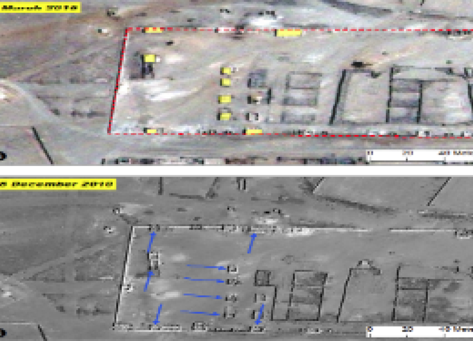
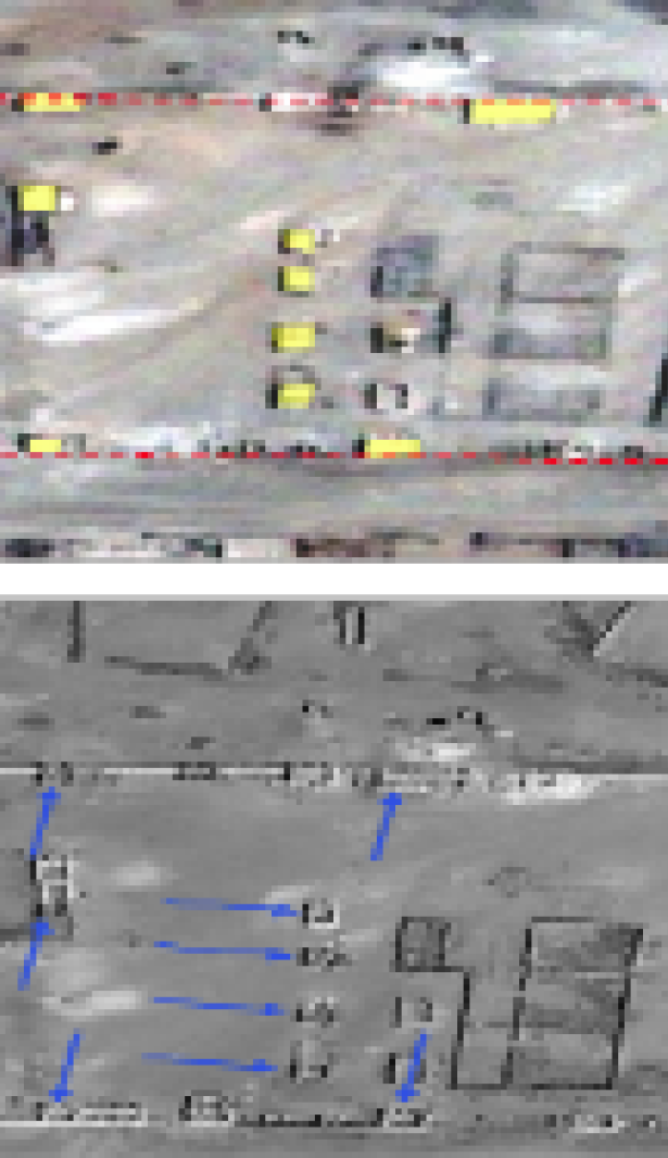
The two satellite photos showed the same location, but very different views.
The first photo showed the Wi’a Military Training Camp and Detention Facility in Eritrea in 2010. The centre had been abandoned in 2010 due to a disease outbreak. Many of the buildings were roofless, with only walls remaining. There was no one around.
The second photo showed Wi’a earlier this year. There had apparently been upgrades. Many of the buildings now had roofs; there were new buildings, and cars around.
The photos, which appeared in a report of the Commission of Inquiry (COI) on Human Rights in Eritrea, confirmed what witnesses had told investigators that Wi’a had been reopened and was operational. It helped provide evidence of the on-going human rights violations being committed in the country.
Such satellite imagery and geographic information systems (GIS) are a vital tool in human rights work, said Andrew Palmer, who heads the Early Warning and Information Support Unit in the UN Human Rights Office. The UN partner organization that provided the information, UNITAR’s Operational Satellite Applications Programme (UNOSAT) recently signed an agreement with the Office to provide wider access and more training on the use of such technology.
“Through this memorandum of understanding, we want to expand the use of satellite imagery and GIS maps across OHCHR and to provide staff with the knowledge and skills to take full advantage of its potential,” Palmer said.
Since 2000, UNOSAT has provided United Nations agencies, Member States and NGOs, access to satellite imagery and analysis. Through developing and providing earth observation and geographic information systems (GIS) its information has helped areas as diverse as humanitarian relief, security, crisis management and recovery.
The kind of information that satellite imagery can show is both broad and targeted. Images have been used to provide information regarding possible mass graves, details of the destruction of civilian homes and infrastructure during a conflict or natural disaster, locations of detention centres or, as in the case of a recent Commission of Inquiry report on Eritrea, illustrate detention facilities found in the country.
“Sometimes when OHCHR receives reports of allegations of human rights violations and abuses, immediate access to such locations can be challenging” Palmer said. “Prior to instigating on-site monitoring activities, satellite imagery can greatly assist in corroborating this information and helping to verify the details.”
The agreement will include a training element for Office staff to better understand how to interpret and perform some analysis of the data, Palmer said.
For COIs, the use of imaging technology has been crucial in helping to illustrate and back up witness accounts and other information on human rights violations. One member of the Eritrea COI team believed the new agreement with UNOSAT will help to standardize the kind of information that comes out, as well as making it more widely available.
“It will make life easier for commissions of inquiry,” the team member said. “We are often under a great deal of time pressure and this agreement will give us more flexibility, and maybe increase the number of commissions that use UNOSAT.”
16 July 2015


